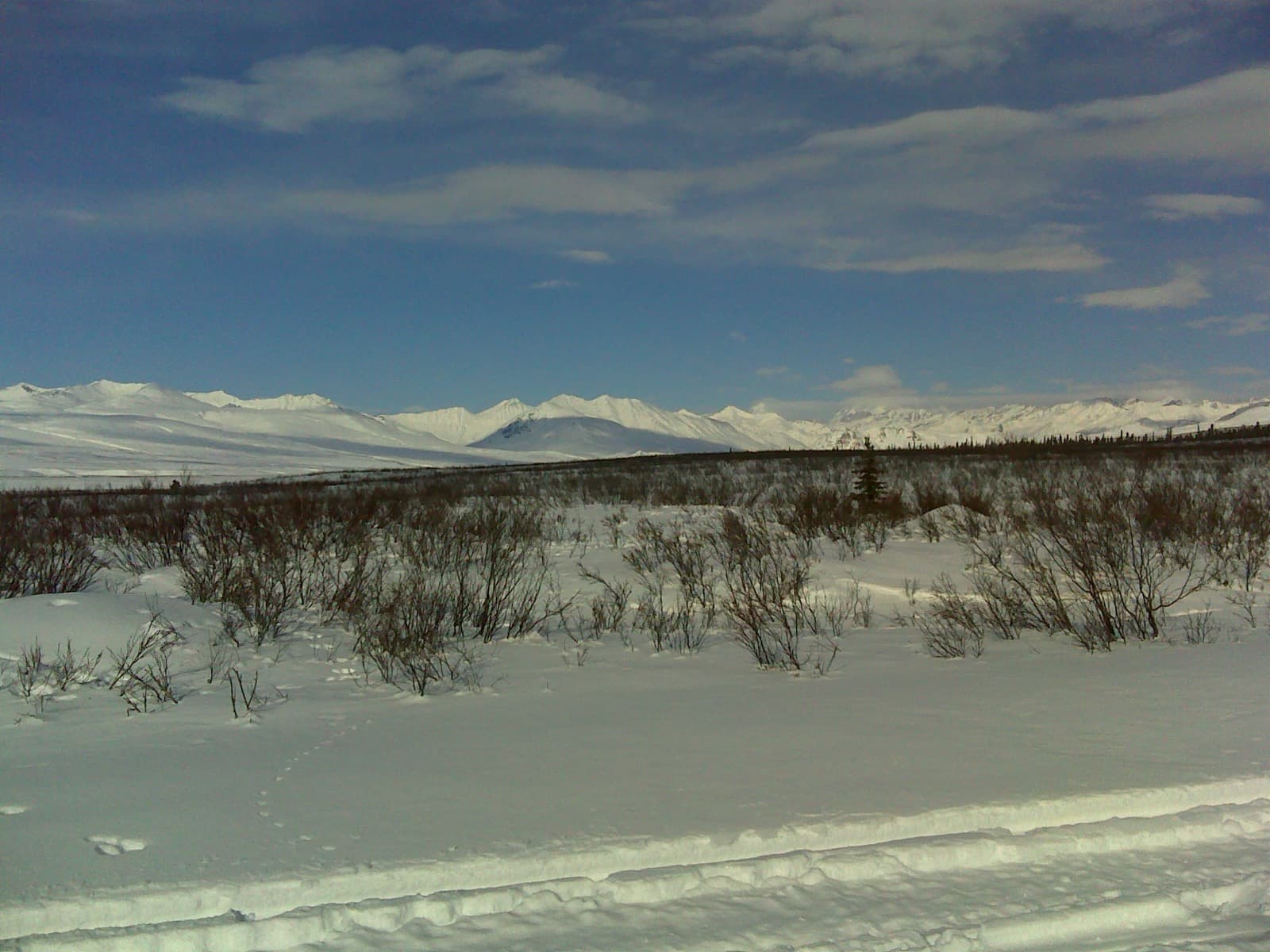
The road nobody is on.
The Denali Highway is not the road into the national park — it is the older, wilder one that runs east to west across the tundra between Paxson and Cantwell, and it is all the better for being overlooked. Eighty-five percent of it is gravel. There is almost nothing out here but the Alaska Range on the horizon, caribou on the benches, and pullouts dark enough to watch the aurora come up in late August. This is a road to drive slowly and camp along, not a road to hurry through.
Desk-researched September 21, 2026. Not field-tested. Distances are approximate driving budgets, not calculated routes, and remote-route services can close without notice — recheck every fuel, water and road source before you go.
Your itinerary.
01DAY 1 / About 22 milesPaxson to Tangle Lakes
Fuel and stock up on the Richardson Highway near Paxson — there is no dependable gas on the Denali itself. Turn west and climb onto the tundra; camp your first night at the BLM Tangle Lakes campground, the put-in for the Delta River canoe country.
- SUPPLY STOP
Paxson / Richardson Hwy fuel
Last dependable fuel and supplies before the gravel. There is no reliable gas on the Denali Highway itself — top off here and carry a reserve.
- OVERNIGHT
Tangle Lakes Campground (BLM)
MP 21.5. Hand-pump potable water, toilets, paved boat launch, bear lockers. $20/site, first come. Season roughly late May to early September.
02DAY 2 / About 83 milesOver Maclaren Summit to Brushkana
The big day: cross Maclaren Summit — at ~4,086 ft the second-highest highway pass in Alaska — past the Maclaren River Lodge at MP 42 (gas, food and tire repair when open — seasonal, confirm first) and the long braided-river views, and drop to the BLM Brushkana Creek campground. Watch for caribou and grizzly on the open tundra above the treeline.
- OVERNIGHT
Brushkana Creek Campground (BLM)
MP 104.5. 22 sites, hand-pump potable water, vault toilets, grayling in the creek. $20/night, first come.
03DAY 3 / About 30 milesBrushkana to Cantwell
An easy final leg into Cantwell and the Parks Highway, where the pavement — and reliable fuel — returns. From here you can turn north to Denali National Park or south toward Talkeetna and Anchorage.
- SUPPLY STOP
Cantwell / Parks Hwy
West-end resupply — reliable gas (Vitus Energy) and the junction with the paved Parks Highway.
Where to call it a night.
Tangle Lakes Campground (BLM, MP 21.5)
Potable hand-pump water, toilets, boat launch, bear lockers. $20, first come. Season ~late May–early September.
Check camping detailsBrushkana Creek Campground (BLM, MP 104.5)
22 units, hand-pump water, vault toilets. $20, first come. Confirm the season with BLM Glennallen.
Check camping detailsFuel, food & fresh water.
Fuel — Paxson & Cantwell only (plan the whole 135 mi)
Reliable fuel is at the paved ends. Mid-route lodges (Maclaren MP 42, Clearwater MP 82) sell gas seasonally but can be closed — worst case is a ~93 mi gap. Leave full with a reserve.
Check service detailsWater & food
Potable water at the two BLM campgrounds and, when open, the lodges. Between Maclaren and Brushkana there is ~62 miles with nothing — carry all your water and treat any surface water.
Check service detailsBefore you point the rig north.
- Roughly 85% gravel with washboard and soft "high-float" spots. Honor the 35 mph advisory; overdriving washboard breaks tires and control.
- Carry at least one full-size spare (two is smart), a plug kit and an inflator. Seasonal tire repair exists mid-route but do not count on it.
- No cell service the whole way — carry a satellite messenger or PLB.
- Trailers and RVs do travel it slowly; the two BLM campgrounds take rigs, but measure your length and expect a rough, dusty ride.
Built by RREV. TrailSync comes from Roam Resilient Expedition Vehicles — these routes are made for our rigs.
- Outland Edition18 ft trailer · ~38 ft towed
- Baja Edition22 ft trailer · ~42 ft towed
- Titan Edition27 ft trailer · ~47 ft towed
- EXP Series & HD SeriesExpedition vehicles
Towed length adds a full-size tow vehicle (~20 ft). Set your build's real length in the planner and it fits the stops to it. Explore the builds →
Nearby & worth the detour.
The gems that turn a drive into the trip — detours, roadhouses, viewpoints and wildlife just off the line.
Maclaren Summit (MP ~37)
The second-highest highway pass in Alaska (~4,086 ft). Treeless, big-sky pullouts — prime open-country wildlife spotting and, once August nights darken, aurora.
Tangle Lakes Archaeological District
One of North America’s richest early-prehistoric zones — 600+ sites over 10,000+ years, straddling MP 15–32. Look, photograph, leave everything; a do-not-disturb ethic applies.
Tangle Lakes canoe trail / Delta Wild & Scenic River
The campground boat launch is the put-in for the popular ~30-mile Delta River float. Canoe rentals have historically been at Tangle River Inn.
Susitna River overlook (MP ~79.5)
The only large bridge on the highway, with sweeping braided-river views — a classic stop and photograph.
Nelchina caribou & tundra wildlife
The corridor crosses the Nelchina caribou range; also moose, grizzly, fox, ptarmigan and trumpeter swan. Alpine tundra above Maclaren is the best open viewing.
Grayling fishing — Brushkana & clearwater creeks
The clearwater tributaries hold Arctic grayling; the Cantwell-to-Brushkana stretch is regarded as the area’s best grayling water.
Know what the plan is built on.
Land-manager information is linked below. These are planning suggestions, not reservations or a live report of road, campsite, water or fire conditions. Recheck before departure. If a stop is closed, omit it rather than finding an unverified shortcut.