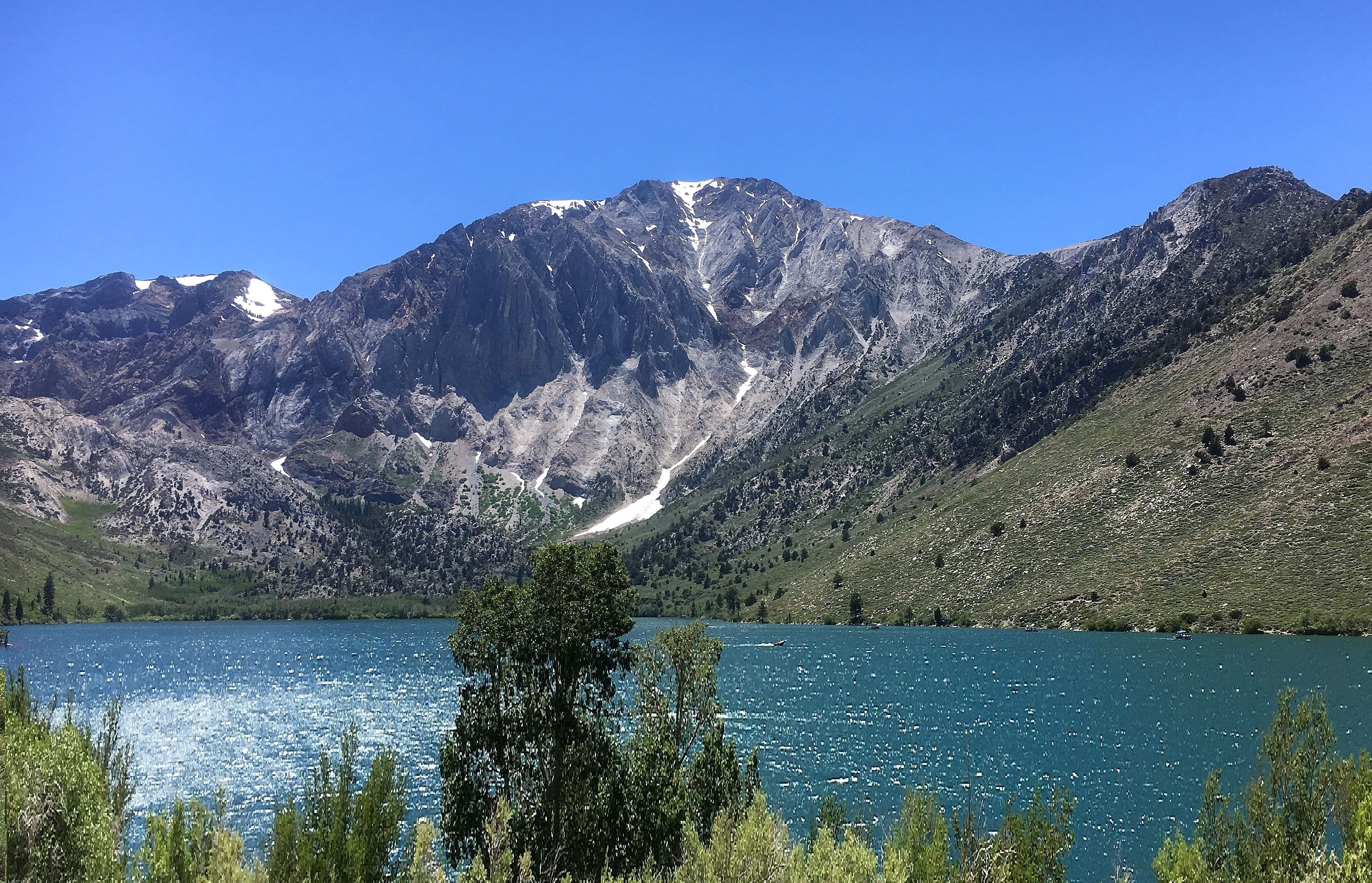
One basecamp. Two very different landscapes.
Sleep at Crowley Lake, then use two short day trips to see different sides of the Eastern Sierra. This itinerary avoids the east-shore columns access roads and does not venture up a mountain pass. Keep Hot Creek optional: an easy day at camp is always a valid change of plan.
Desk-researched September 9, 2026. Not field-tested. Distances are approximate local driving budgets, not calculated routes. Your drive to and from the region is extra.
Your itinerary.
01DAY 1 / About 20 local milesSupplies first, camp second
Begin in Mammoth Lakes with enough provisions for the trip. Head to the BLM campground on the west side of Crowley Lake, find a site, and confirm which services are operating.
- SUPPLY STOP
Mammoth Lakes supply stop
Town-center planning pin. Top up groceries, fuel and purchased drinking water. Pick a business with suitable parking for your rig and verify hours.
- OVERNIGHT
Crowley Lake Campground
BLM campground on the west side, not the Fish Camp or east-shore columns. First come; seasonal. Drinking water is listed, but ask the host about tank-filling permission.
- WATER CHECK
Crowley campground drinking water
Campground-level pin, not a located spigot. Confirm potable signage and that service is on. Drinking-water access does not guarantee a hose connection or RV tank fill.
02DAY 2 / About 30 local milesA morning at Convict Lake
Drive to the signed day-use area and take a shoreline walk that matches your group. Keep the rest of the day open for lunch, reading and the return to camp.
- OPTIONAL OUTING
Convict Lake day-use area
Approximate day-use parking pin. Take a shoreline walk within your ability; use signed parking and return before dark. This is not an overnight stop.
- OVERNIGHT
Crowley Lake Campground
BLM campground on the west side, not the Fish Camp or east-shore columns. First come; seasonal. Drinking water is listed, but ask the host about tank-filling permission.
03DAY 3 / About 35 local milesRead the volcanic landscape
After checkout, add Hot Creek if the access road and site are open. Stay on designated paths above the geothermal features, then finish in Mammoth Lakes.
- OPTIONAL OUTING
Hot Creek Geologic Site
View from designated paths only. No swimming or soaking: boiling springs can shift without warning. Check road and site access before the detour.
- SUPPLY STOP
Mammoth Lakes supply stop
Town-center planning pin. Top up groceries, fuel and purchased drinking water. Pick a business with suitable parking for your rig and verify hours.
Where to call it a night.
Crowley Lake BLM / nights 1-2
Seasonal, first come, with a 30-foot maximum recommended RV length. This is the BLM campground, not Crowley Lake Fish Camp.
Check camping detailsFuel, food & fresh water.
Crowley campground / drinking water
BLM lists potable water during operation. Confirm the tap is on and any tank-filling rules. A separate dump-station fee may apply.
Check service detailsMammoth Lakes / full resupply
Start with fuel, food and backup drinking water. Choose specific businesses for your rig; the town-center pin is for planning.
Before you point the rig north.
- Use the west-side campground approach in BLM directions. Do not follow a navigation shortcut to the east-shore columns.
- Check your total length against the recommended limit and actual site. Allow for wind exposure and cool nights.
- Hot Creek is a viewing stop, not a hot-springs soak. Boiling water and changing vents make entering the water dangerous.
Know what the plan is built on.
Land-manager information is linked below. These are planning suggestions, not reservations or a live report of road, campsite, water or fire conditions. Recheck before departure. If a stop is closed, omit it rather than finding an unverified shortcut.